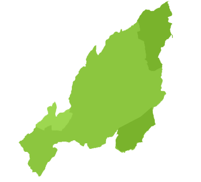
Nagaland, the16th state of the Indian Union was born on 1st Dec1963. It is bounded by Assam in the west and north, Tirap district of Arunachal Pradesh in the north east, and Manipur in the south. On the east It shares India's international boundary with Myanmar, Burma.
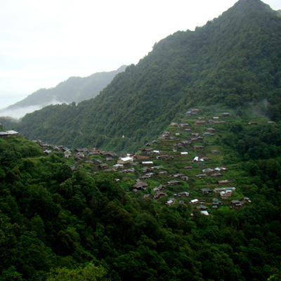
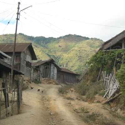
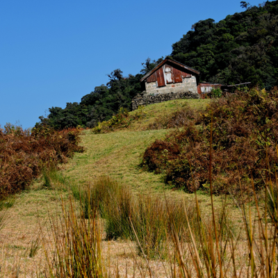
The state is divided into seven districts : Kohima, Phek, Mokokchung, Wokha, Zunheloto, Twensang and Mon. The terrain is hilly, rugged and mountainous. The highest peak is Saramati in the Twensang district which is 3840 metres above sea-level. The average height of the peaks is between 900 and 1200 metres.
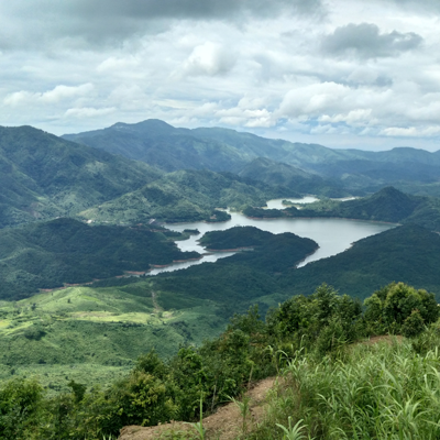
The main rivers that flow through the state are Dhansiri, Doyang, Dikhu, Tizu and Melak. There is no waterfall in Nagaland. The only lake well known is Lacham to the east of Mehiri.
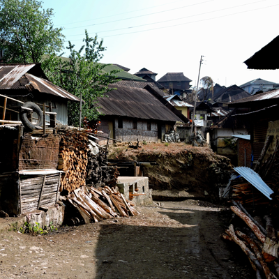
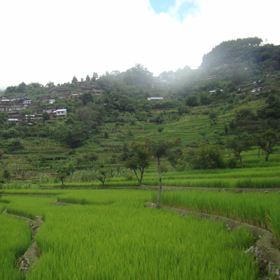
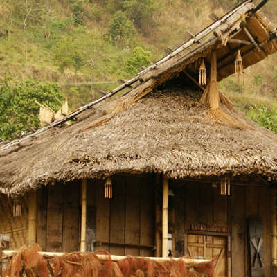
The hill sides are covered with green forests. In the Angami region, the terraced fields are a feast to the eyes.
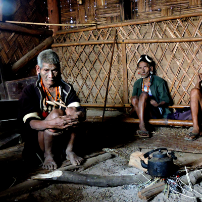
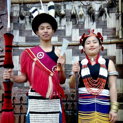
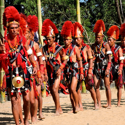
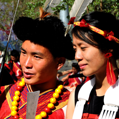
The population of Nagaland is entirely tribal. The Nagas belong to the Indo-Mongoloid family. The fourteen major Naga tribes are the Angami, Ao, Chakhesang, Chang, Khemungan, Konyak, Lotha, Phom, Pochury, Rengma, Sangtam, Sema, Yimchunger and Zeliang. The Chakhesangs were earlier known as Eastern Angamis and are a combination of the Chakri, Khezha and Sangtam sub-tribes. Now the Chakhesang tribe is spilt further; Pochury's who were earlier a part of it now claim a distinct entity. Each tribe has their own languages and cultural features.